OH coverage

Parcel data + parcel intelligence

Parcel data in Ohio.

Compare documented county downloads, inspect real sample records, and check source dates before you buy. For ongoing data operations, explore ParcelMetric software and a project-specific coverage review.

Automated

Parcel data quality + governance

Continuous

Change monitoring

GIS-ready

Exports + APIs

OH parcel signals
ChangeExports

State coverage

Ohio

Check source dates and county availability.
ParcelMetricOH parcel coverage
Preview
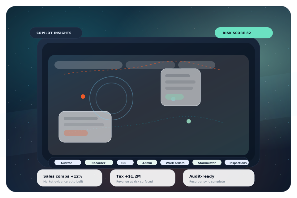
ParcelMetric visual preview for Ohio

What you get

Know what is in the county file.

Compare real samples, documented record counts, source dates, and field coverage. Then choose a ready file or define the research you need.

  • Ready files linked county by county
  • Source and ownership dates visible
  • Missing values and overlay coverage identified
  • CSV and GeoJSON samples before purchase

DOCUMENTED COUNTY AVAILABILITY

Ohio parcel data downloads

88 counties ready to buy; 0 additional county entries available for a scope review. Ready downloads and research inventory are separate.

Compare the county files below, then inspect the actual sample and source notes before buying. Each download contains CSV and GeoJSON; included fields and overlays vary by county.

Ready Ohio county files
CountyRecordsFieldsOne-time priceInspect first
Adams County21,55760$19Sample CSV
Allen County52,75060$19Sample CSV
Ashland County35,63660$19Sample CSV
Ashtabula County74,78760$19Sample CSV
Athens County42,35560$19Sample CSV
Auglaize County28,71560$19Sample CSV
Belmont County65,58360$19Sample CSV
Brown County37,68260$19Sample CSV
Butler County166,35771$19Sample CSV
Carroll County28,52160$19Sample CSV
Champaign County26,59066$19Sample CSV
Clark County69,90360$19Sample CSV
Clermont County98,50760$19Sample CSV
Clinton County27,19866$19Sample CSV
Columbiana County74,62760$19Sample CSV
Coshocton County27,60260$19Sample CSV
Crawford County33,64360$19Sample CSV
Cuyahoga County483,78471$19Sample CSV
Darke County31,36860$19Sample CSV
Defiance County26,86460$19Sample CSV
Delaware County95,45671$19Sample CSV
Erie County45,90960$19Sample CSV
Fairfield County73,06271$19Sample CSV
Fayette County18,14474$19Sample CSV
Franklin County494,749106$19Sample CSV
Fulton County23,48560$19Sample CSV
Gallia County27,07460$19Sample CSV
Geauga County50,76960$19Sample CSV
Greene County76,21371$19Sample CSV
Guernsey County40,66960$19Sample CSV
Hamilton County354,52171$19Sample CSV
Hancock County38,84460$19Sample CSV
Hardin County26,22160$19Sample CSV
Harrison County17,82260$19Sample CSV
Henry County19,61463$19Sample CSV
Highland County32,15960$19Sample CSV
Hocking County23,15265$19Sample CSV
Holmes County28,27160$19Sample CSV
Huron County40,35460$19Sample CSV
Jackson County32,70260$19Sample CSV
Jefferson County58,47560$19Sample CSV
Knox County41,75760$19Sample CSV
Lake County114,37260$19Sample CSV
Lawrence County56,37360$19Sample CSV
Licking County95,30871$19Sample CSV
Logan County36,91560$19Sample CSV
Lorain County169,01171$19Sample CSV
Lucas County204,46879$19Sample CSV
Madison County24,74560$19Sample CSV
Mahoning County160,76060$19Sample CSV
Marion County37,76860$19Sample CSV
Medina County132,61860$19Sample CSV
Meigs County29,92169$19Sample CSV
Mercer County25,56060$19Sample CSV
Miami County53,97471$19Sample CSV
Monroe County17,36960$19Sample CSV
Montgomery County273,12774$19Sample CSV
Morgan County19,08060$19Sample CSV
Morrow County28,21860$19Sample CSV
Muskingum County57,48060$19Sample CSV
Noble County16,44960$19Sample CSV
Ottawa County53,75160$19Sample CSV
Paulding County17,86560$19Sample CSV
Perry County30,15360$19Sample CSV
Pickaway County30,92660$19Sample CSV
Pike County24,63770$19Sample CSV
Portage County101,86760$19Sample CSV
Preble County38,25260$19Sample CSV
Putnam County30,37460$19Sample CSV
Richland County75,59271$19Sample CSV
Ross County44,71060$19Sample CSV
Sandusky County33,41260$19Sample CSV
Scioto County58,63060$19Sample CSV
Seneca County45,89360$19Sample CSV
Shelby County31,52860$19Sample CSV
Stark County201,24471$19Sample CSV
Summit County262,49471$19Sample CSV
Trumbull County134,80660$19Sample CSV
Tuscarawas County60,41360$19Sample CSV
Union County33,62571$19Sample CSV
Van Wert County19,68860$19Sample CSV
Vinton County13,21863$19Sample CSV
Warren County106,23768$19Sample CSV
Washington County62,00960$19Sample CSV
Wayne County57,19160$19Sample CSV
Williams County26,26063$19Sample CSV
Wood County73,19660$19Sample CSV
Wyandot County20,28063$19Sample CSV

Parcel source dates and ownership dates are not the same as retrieval dates. A mapped zero, missing coverage, and an unknown value have different meanings. Review the product methodology before screening land.

Use cases in Ohio

Built for public agencies and enterprise teams.

Whether your stakeholders live in assessor offices, planning departments, utilities, or enterprise portfolios, ParcelMetric delivers a consistent parcel backbone.

County & municipal GIS

Parcel maintenance, tax roll alignment, and audit-ready data quality workflows.

State agencies

Statewide parcel standards, governance, and executive dashboards.

Utilities & infrastructure

Right-of-way, easements, siting, and change monitoring tied to ownership.

Telecom & fiber

Permitting, buildout planning, and parcel-level access visibility.

Finance & insurance

Risk overlays, underwriting support, and portfolio intelligence scoring.

Enterprise portfolios

Due diligence, acquisitions, and nationwide parcel analytics at scale.

GIS integration or replacement

Use ParcelMetric alongside GIS, or replace legacy parcel workflows.

Some teams start with exports and APIs. Others use ParcelMetric as the system of record for parcels, governance, and change intelligence. We will map the fastest path for Ohio.

Common rollout

  • Discovery: sources, access, and required outputs
  • Configuration: quality rules and change monitoring
  • Validation: agreed checks, exports, and operating handoff

Next steps

See ParcelMetric for Ohio.

We will show coverage, change intelligence, and how ParcelMetric can fit into—or replace—your current GIS workflows.