
For site selection
Screen an area using your criteria, inspect the candidates, and record what still needs due diligence.
PARCELMETRIC / PUT A REAL QUESTION TO WORK
Find the properties that fit. Investigate what matters. Leave with research you can use.
Try the actual software with Franklin, Allen and Putnam County records. No signup required for the public preview.
THE QUESTION
Start with a focused research list instead of opening properties one at a time.
Opens the software in a new tab so you can keep these steps beside you.
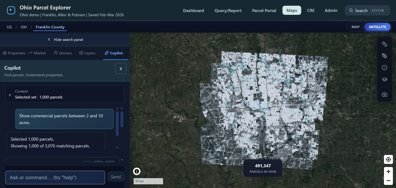
Recorded commercial classifications and acreage are screening attributes. These parcels are not advertised as available for sale. Saved February–March 2026 records; field availability varies.
WHAT MAKES THIS USEFUL
You may already have a county map or a parcel file. Compare how easily your team can finish the whole task: search, investigate, select and hand over a usable result.
Screen an area using your criteria, inspect the candidates, and record what still needs due diligence.
Follow a recorded name into the matching property records. Keep the source and identity limitations visible.
Inspect the schema and join keys in a free 50-record CSV, JSON or GeoJSON pack before scoping a larger export.
Open the sample files →YOUR QUESTION. A USEFUL NEXT STEP.
Keep your area, question and output requirements together. Download it without giving us your email, or send it to LandSight for a scope review.
Your draft stays in this browser tab for 30 minutes. Nothing is sent until you submit a contact inquiry. The brief is a planning aid, not a completed analysis.
We confirm sources, deliverables and a quote before any paid work. Other counties require coverage confirmation.